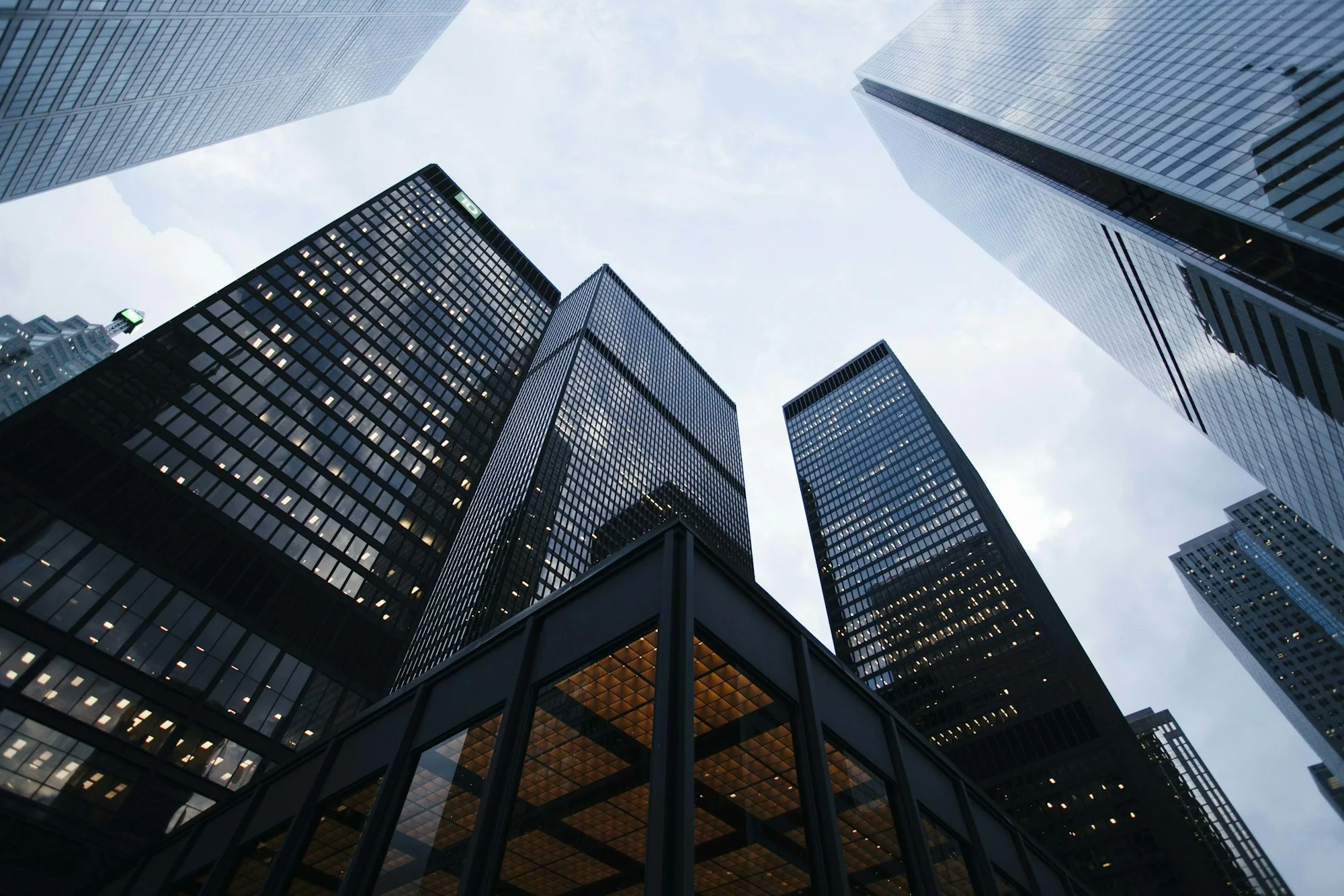
Observe.
Camera streams and uploaded media become candidate observations. Keep the original source within reach.
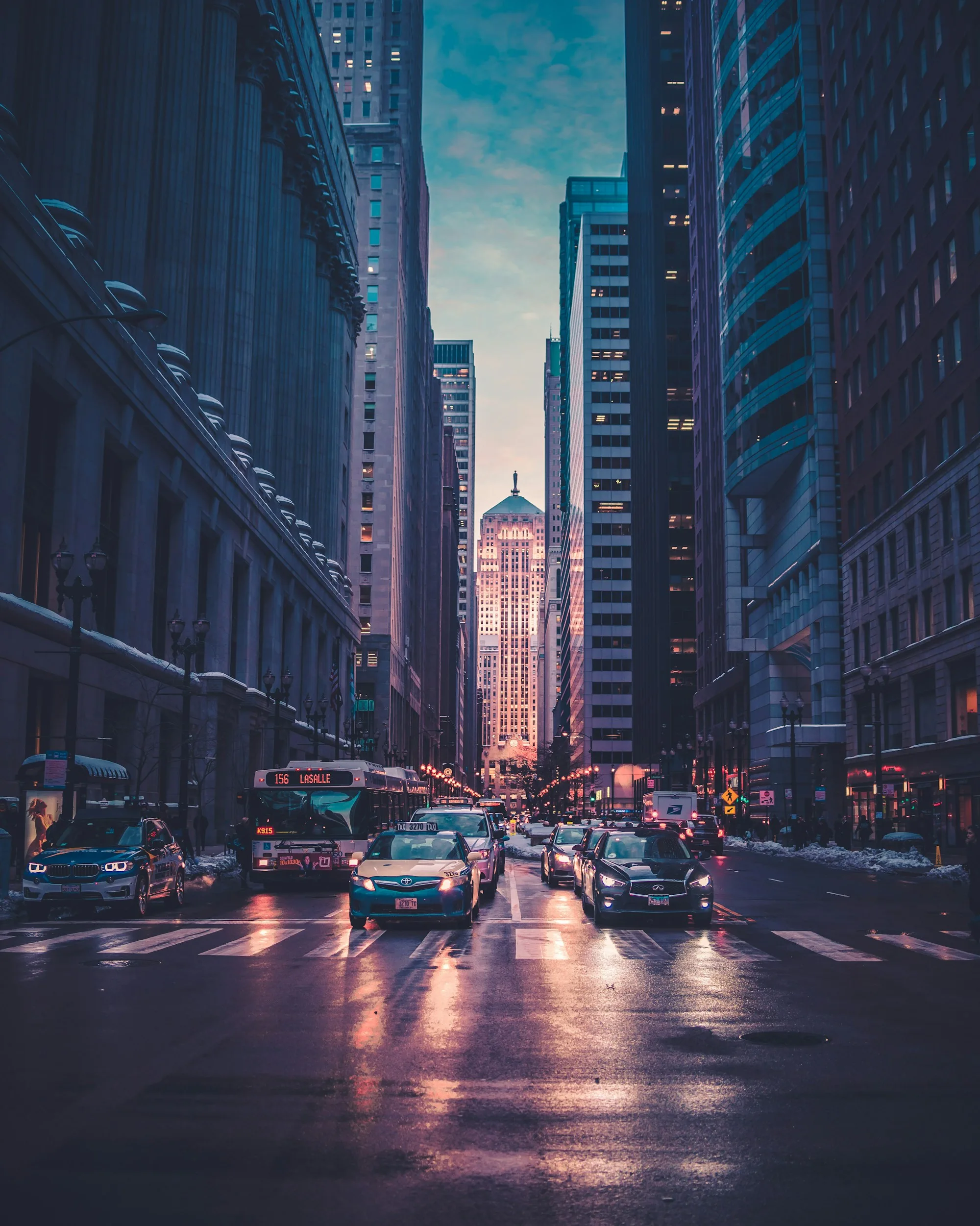
One platform. A connected way of seeing.
Visual input, spatial context and evidence.
Brought together
around the questions that matter.
Follow the information from its source to a decision someone can explain.
Camera streams and uploaded media become candidate observations. Keep the original source within reach.
Place observations in time and space. Simulated aerial missions offer another view of the same question.
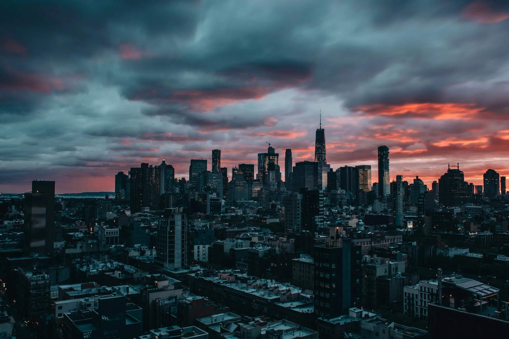
Bring attachments, notes and timelines into a case. Review the evidence and its limitations before drawing conclusions.
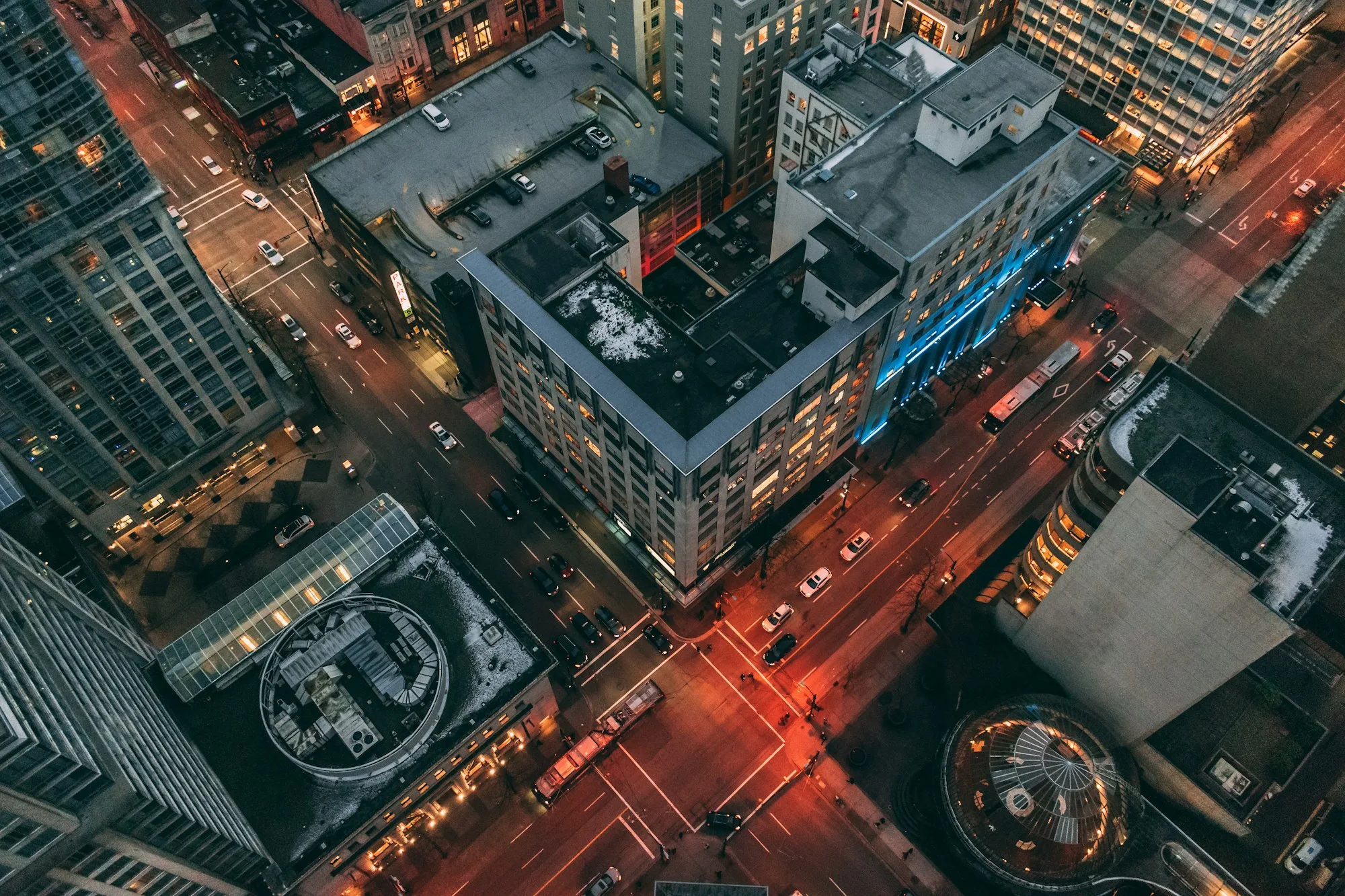
Explore the relationships.
Return to the original media. A model output begins a question, it does not close it.