AEGIS
SENTINEL
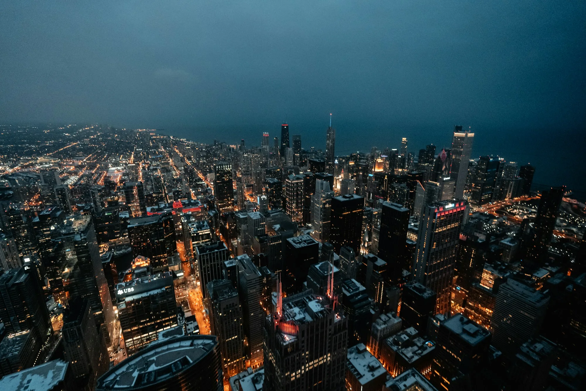
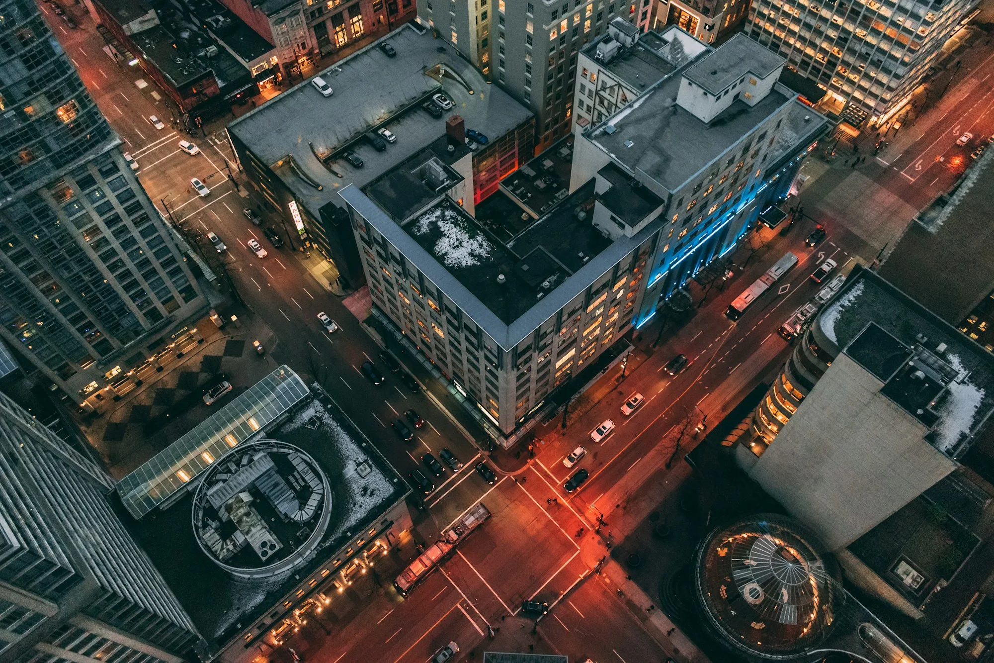
An aerial view of a dense urban block

Change
your altitude.

A different view changes
the questions you can ask.

Follow the mission ↓
Aerial missions are simulated.
01

Before
the flight.

A question sets
the course.

Define a route and its context. Simulated missions make it possible to explore a field of view without representing a live aircraft connection.

The system behind the view ↗
02

Above
the familiar.

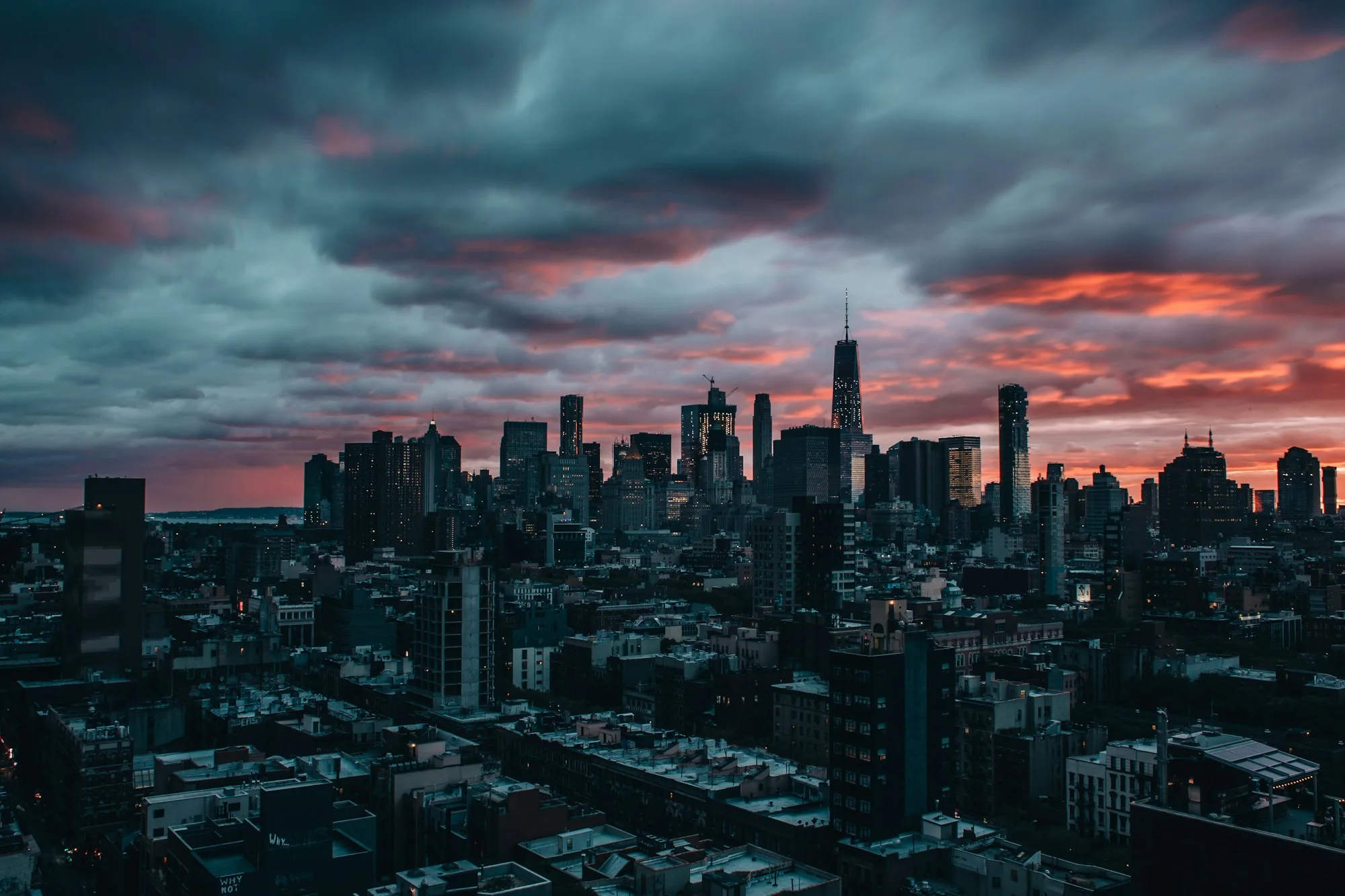
A city opens into a wider skyline

A wider setting.
A more useful question.

Move between ground level observations and aerial context. Examine where information originates and what lies beyond the frame.

03

Return
with context.

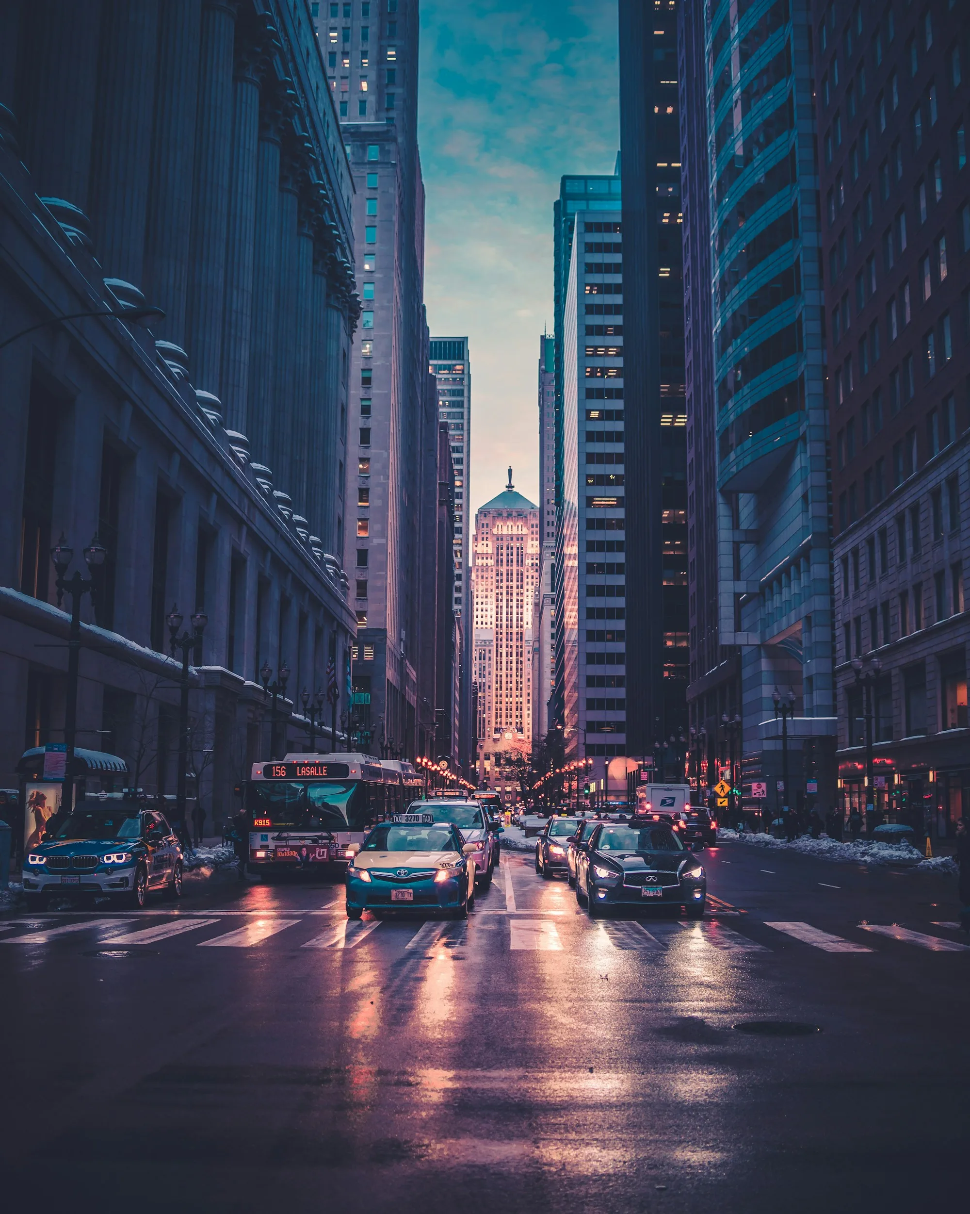
Street level context
The original view
An overhead perspective of a city block
The wider view

Bring observations back into an investigation. Review sources, times and relationships together. A different altitude adds context, not certainty.

The city after dark

The flight ends.
The inquiry continues.

Follow the evidence ↗